
My Take On: E Barbara Bailey Way Ped Zone
The Seattle Streets Alliance (SSA) has been advocating to pedestrianize E Barbara Bailey Way, the south-east entrance of Capitol Hill Station.
For several years, this area has already proven success when streets are closured during Capitol Hill's Farmers Market every Sunday all year, as well as their seasonal summer Tuesday markets.
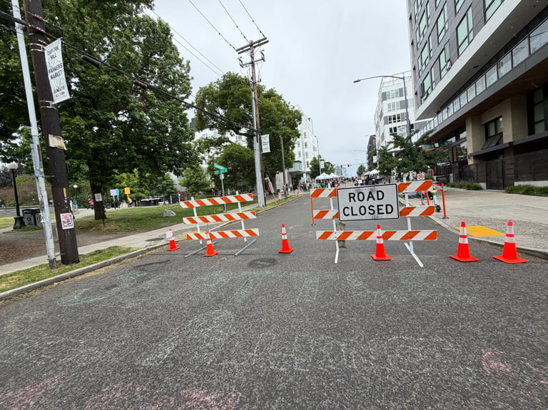
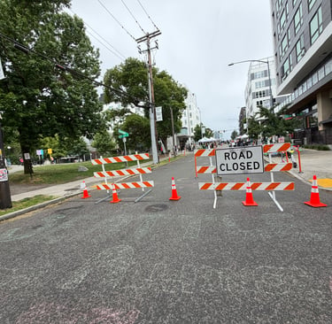
Notes: SSA Block Party. Photo taken by me.
quick background
During street closures, there are only minor disruptions to vehicular traffic. Since the area is served by many alternative mode types such as active transportation (walking rolling, and cycling), transit via bus/light-rail, and even curbside parking available around the park for drivers.
Within a highly dense populated neighborhood of Capitol Hill, it only makes sense for the city to invest in local alternative modes of transportation for the perspective of safety.
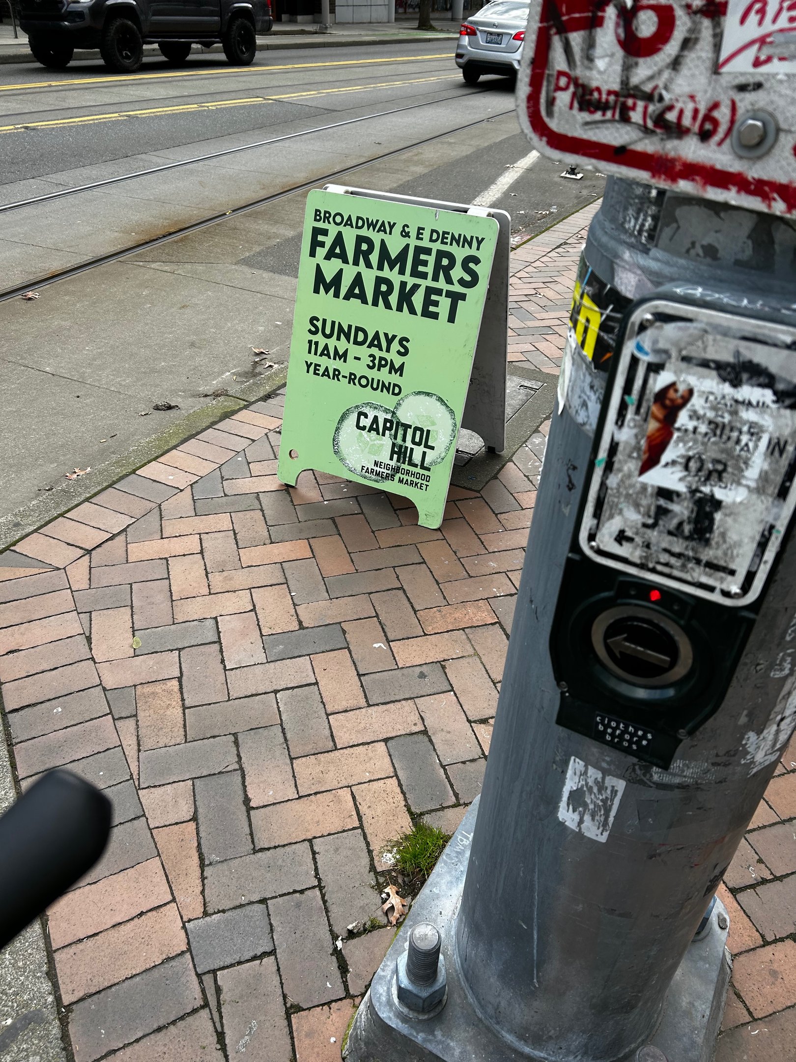
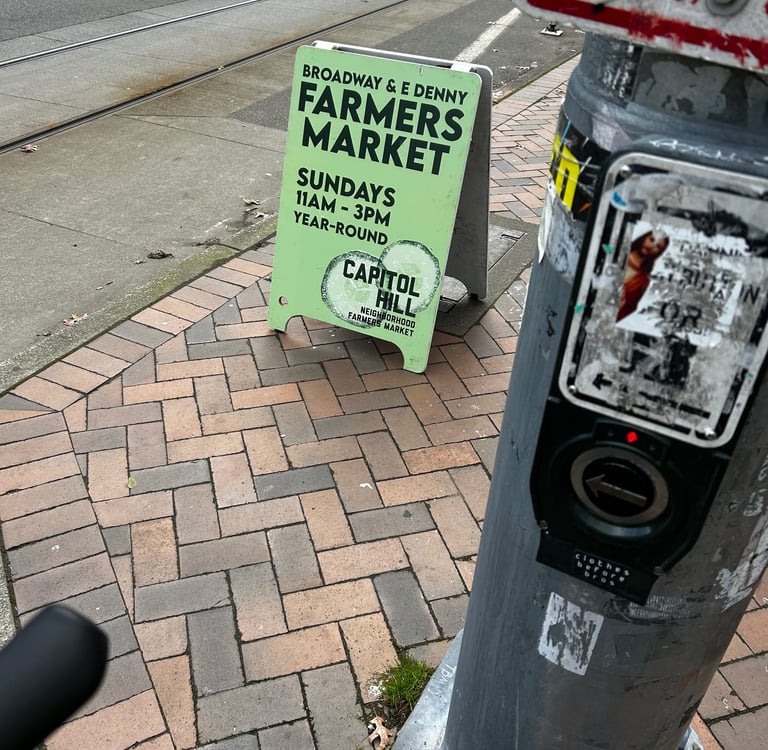
Notes: Photo of a-board Capitol Hill's Farmers Market
I won't go into detail about why this project is great from an urbanist perspective, SSA's video presentation does an excellent job of recapping those points.
However, I am curious about how traffic safety is maintained continuously at a network level within the block that surrounds Cal-Anderson Park.
I've had my share of speeding drivers and close encounters at the traffic circle of 11th Ave E & Denny Way E as shown below. Perhaps I'll capture my own b-roll footage and update in the future...
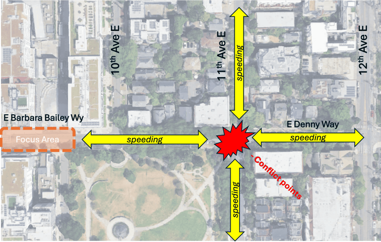
Notes: Conflict point from all moving traffic around traffic circle intersecting 11th Ave E & E Denny Way
The Safety Concern
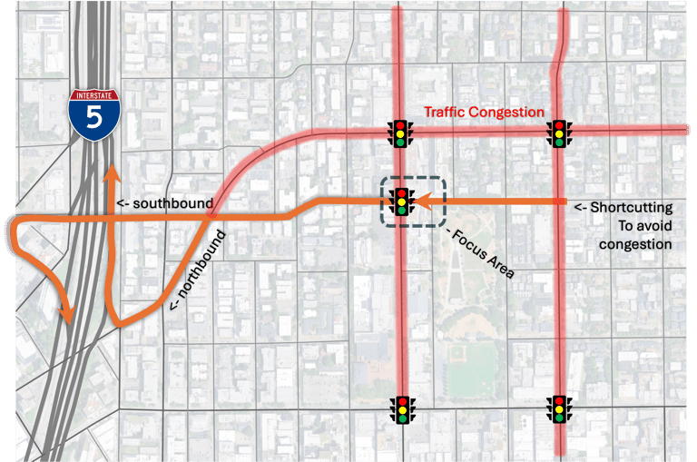
Due to Capitol Hill's proximity to I-5 access ramps, it's no wonder why quiet residential neighborhood streets become thoroughfares for speedy bypassing traffic during peak commuting hours.
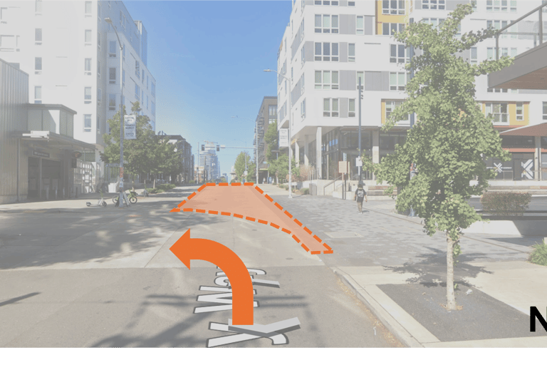
Treatment Area
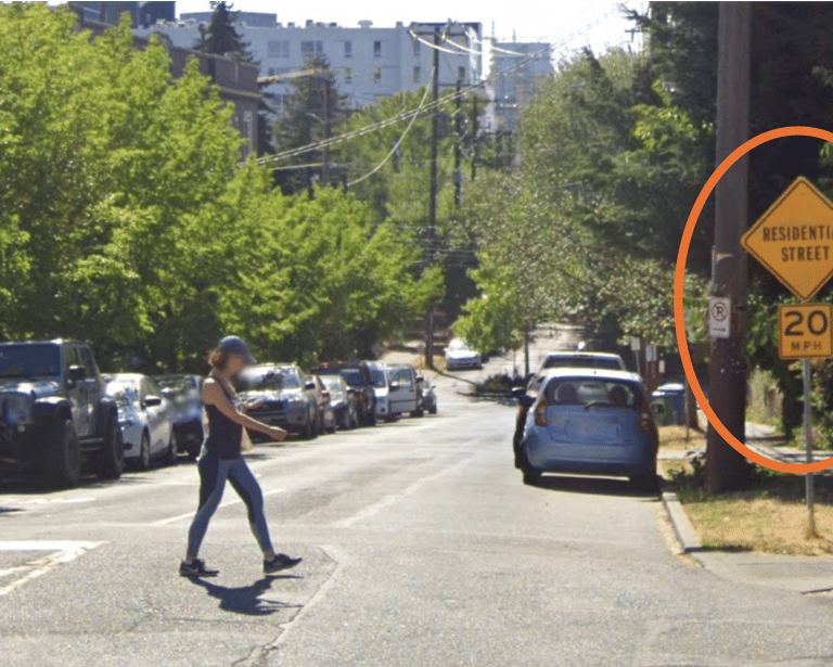
Notes: Residential Street Reminder to Drivers
As an example, If the pedestrian zone treatment within the focus area, it could create spillover effects of vehicular traffic onto other streets.
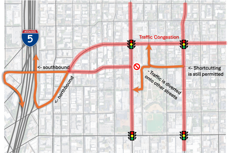
The residential neighborhood that surrounds Cal-Anderson is often plagued by drivers speeding and shortcutting to reduce their travel time.
after
before
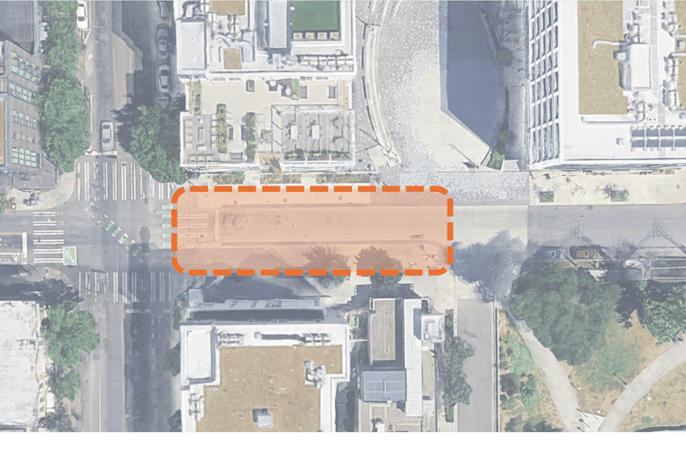
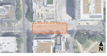
Notes: Satellite view of E Barbara Bailey Wy and SE Entrance to Capitol Hill Station
Notes: Street View of E Barbara Bailey Wy and possible traffic diversion to Nagle Place
Suggested Improvement:
Cal-Anderson Circulation Block
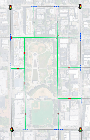
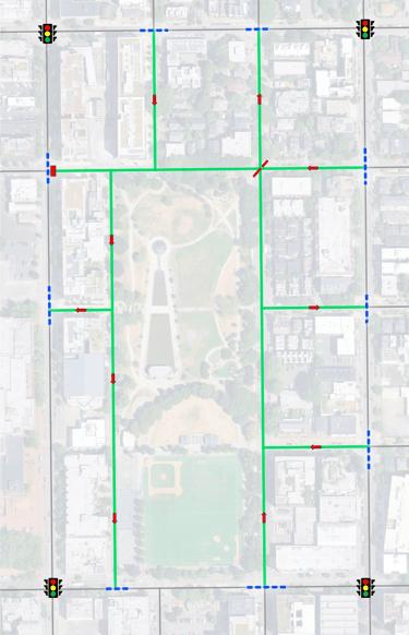
Intended Outcome:
1). Reinforce Road Functionality
Access vs. Thoroughfare
2). Reduce Conflict Points
3). Maintain Accessibility:
Residential Vehicle Access
Service Vehicle Access
Emergency Vehicle Access
Notes: Example of implementation of Road Types
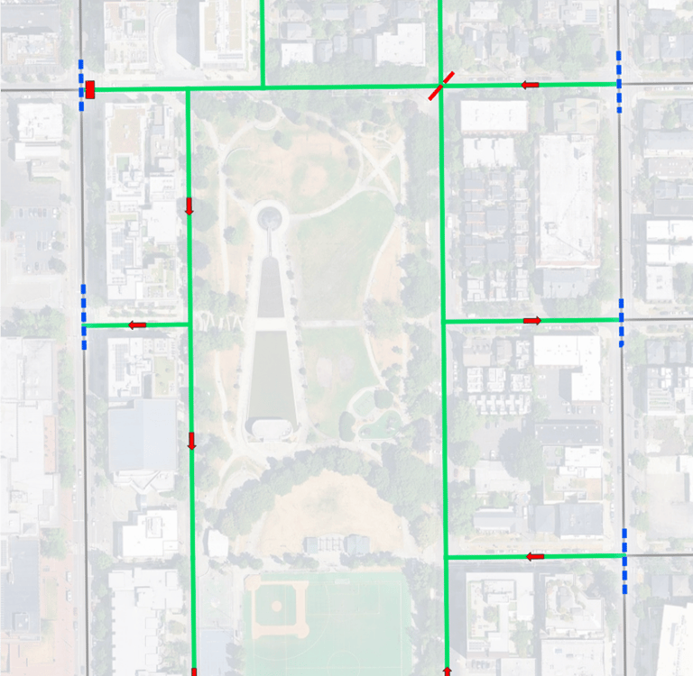
Objective 1: Convert access road types and maintain access functionality
Purpose: To reduce vehicular traffic that have no intention of accessing the neighborhood block (i.e. shortcutting)
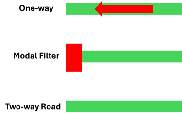
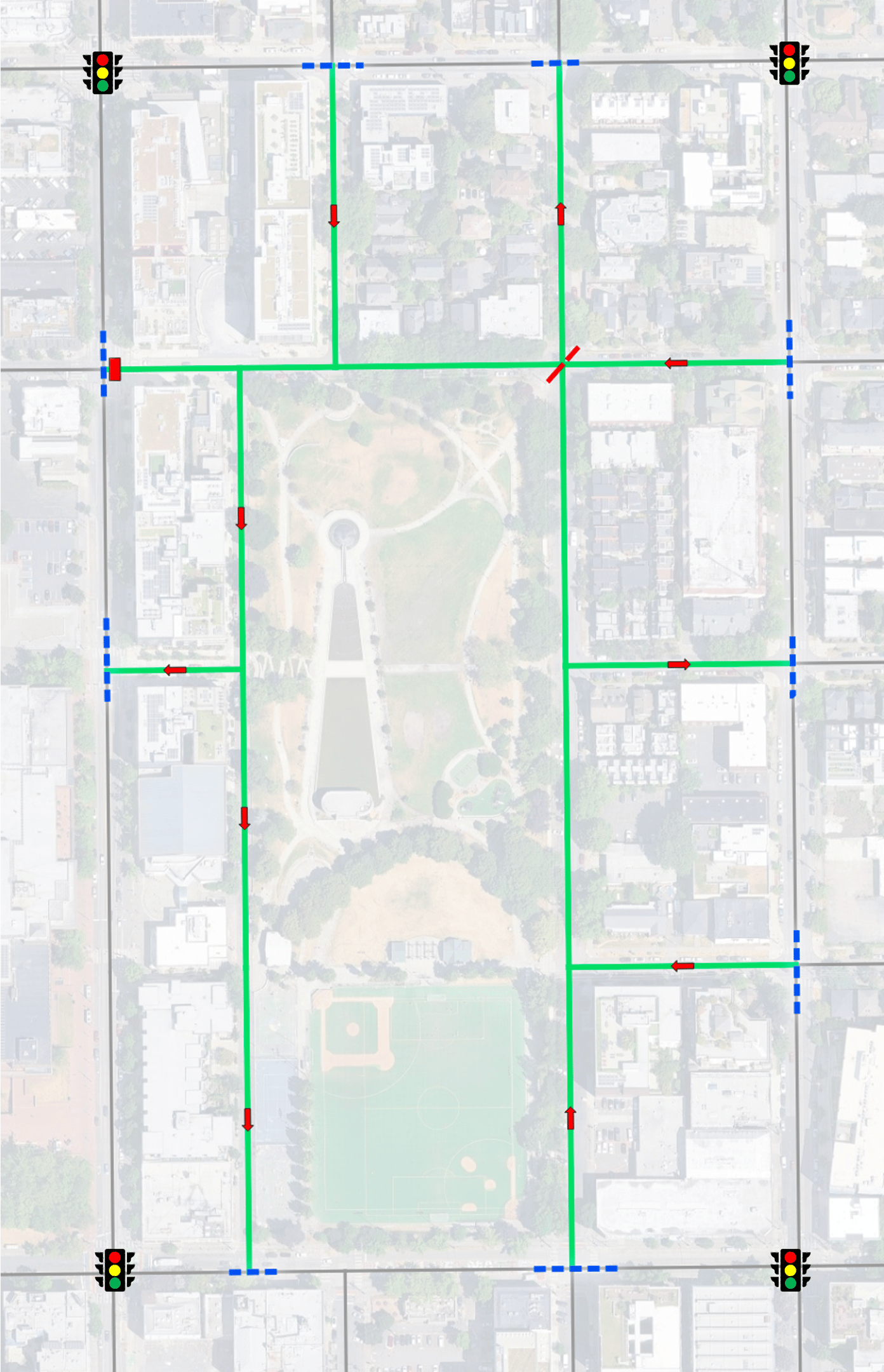
Objective 2: Pedestrian Cross filters along arterials
Purpose: Reduce conflict points where access roads intersect with arterials.
Enforces yield to oncoming traffic and right turn only.
Pedestrian crossing movement is able to permeate through.
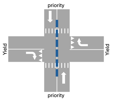
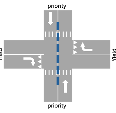
Intersection Design
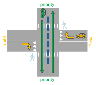
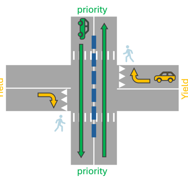
Vehicular Movement
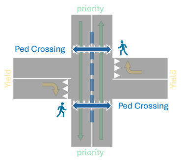
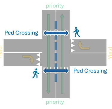
Pedestrian Movement
Objective 3: Neighborhood Block Segments using traffic diverters.
Purpose: Attempts to evenly distribute and discourage traffic from funneling from one arterial side to another. The goal is to circumvent access traffic and exiting from the same arterial road as possible.
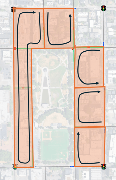


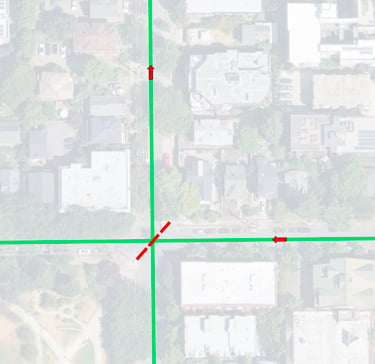
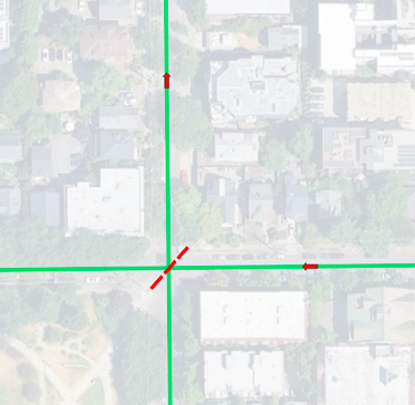
Traffic circle is upgraded to diverter:
One-ways, diverter, and forced right turn-only creates circulating route block:
Notes: Different access road types
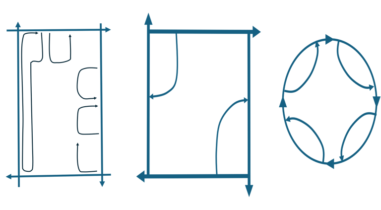
Simple Geometry of the Intended Outcome:
Why Does This Work?
Doesn't this hinder people from driving? How are service and emergency vehicles able to continue at providing?
The answer is no. Driving can still be accomplished, but it would discourage most local trips to occur by motor vehicles.
From a local travel perspective, we often forget that other mode types exist. Walking, rolling, and cycling are far sustainable means of travel but are often hindered from safety of sharing spaces with motor vehicles.
The less motor vehicles that take up space, the safer it is for other mode types to travel and less congestion. The effect of mode split between mode types have compounding benefits resulting in improved safety and traffic efficiency.


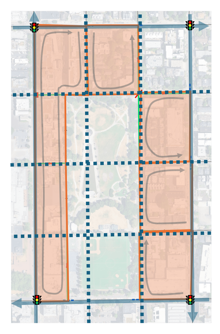
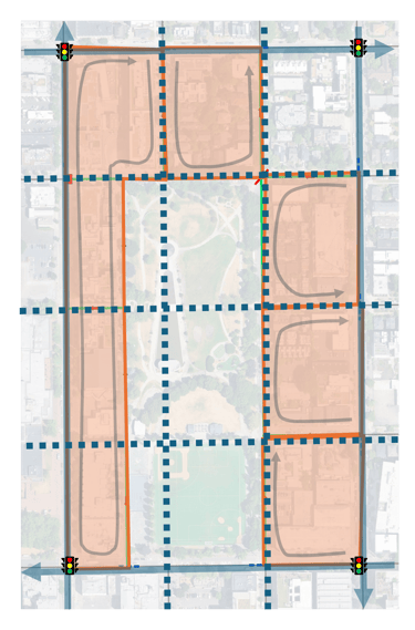
Notes: Simple geometry example of active transportation connectivity compared to circulating block for driving.
Notes: Example of the simple geometry applied to the map and active transportation connectivity compared to circulating block.
The spillover effect onto other blocks would carry negative impacts, unless similar treatments are made
If motor vehicles in this neighborhood are so incompatible with urban environments, then what purpose do they really have?
Would traffic congestion improve?
Yes, within the block
Not along arterials
Requires further network redesigns to inter/intra city travel
Would the population be better off without this treatment?
No, there was already congestion and safety concerns to begin with
Improving safety at the expense of further congestion along arterials segments is a necessary trade off at protecting lives
Things To Consider
Emergency vehicles can still access or even improve access (ex: retractable bollards)
Service vehicles can still access
Residents can still access their property with their personal vehicles
Increases safety of other mode types and reduced motor vehicle traffic congestion
Takeaways
Last update: 06.25.26